

Wpis opublikowany 13.05.2021r.
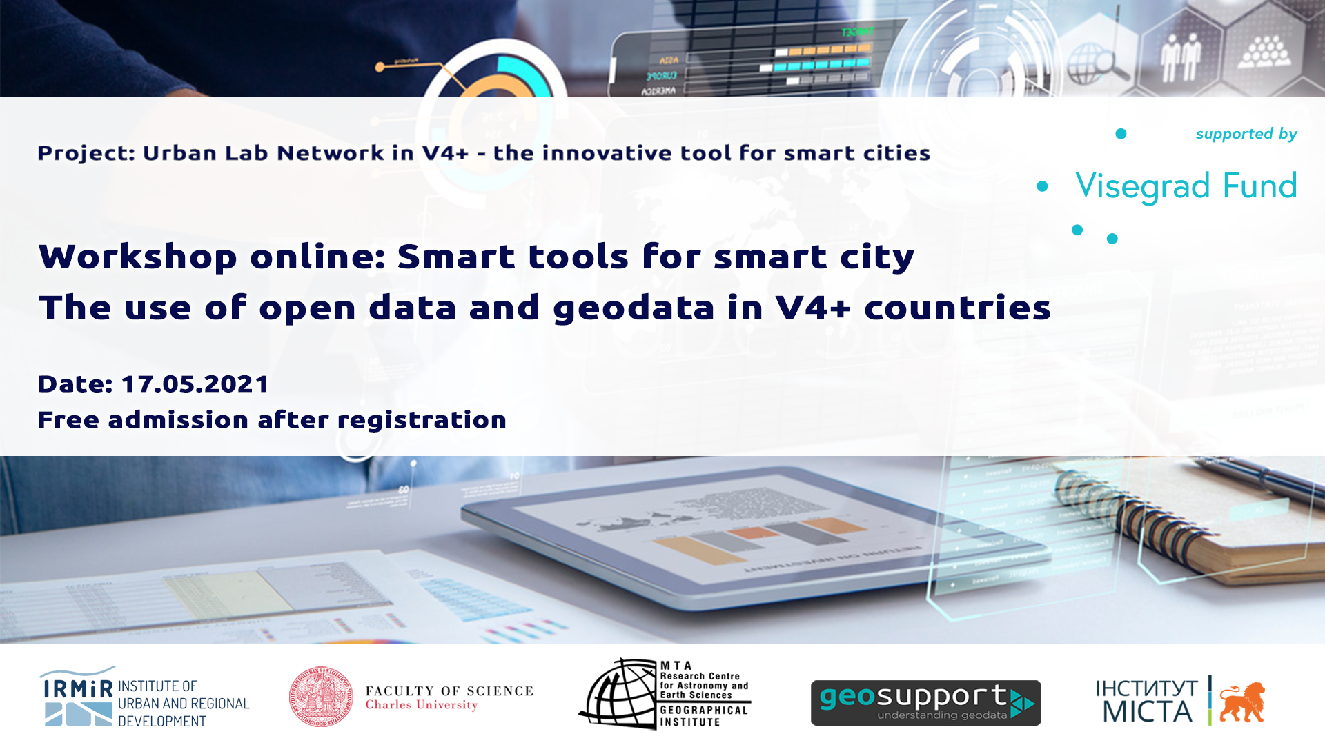
Serdecznie zapraszamy do wzięcia udziału w warsztatach online: „Smart tools for smart city. The use of open data and geodata in V4+ countries” – 17 maja (poniedziałek) w godzinach 9:00-12:00 poprzez platformę Zoom. Wydarzenie organizowane jest w ramach projektu International Visegrad Fund pt. „Urban Lab Network in V4+ – the innovation tool for smart cities” (w ramach grantu Visegrad+) realizowanego przez Instytut Rozwoju Miast i Regionów wraz z partnerami.
Na warsztaty obowiązuje bezpłatna rejestracja. Link do dołączenia do wydarzenia na platformie Zoom zostanie przesłany w potwierdzeniu rejestracji. Warsztaty odbędą się w języku angielskim i słowackim (z tłumaczeniem).
PROGRAMME:
9:00-9:15 Welcoming coffee and introduction – Miloslav Michalko, Bartosz Piziak
9:15-9:45 Open Data in Slovakia – Peter Hanečák
9:45-10:15 The city of Prešov lives on data – Mariana Hurná
10:15-10:30 Coffee break
10:30-11:00 Geoinfrastructure of Presov Self-Governing region – Marek Hudák
11:00-11:30 Open data in Ukraine: development, services, benefits – Olena Gunko
11:30-11:50 Discussion
11:50-12:00 Networking
EXPERTS:
Peter Hanečák (Open Data SK)
Open Data in Slovakia
The presentation will focus on three concrete examples of Open Data (some also Geo) from Slovakia: a) Address Registry, b) LIDAR data and c) Registry of financial statements. The presentation will cover practical observations about what was published, how and why.
Mariana Hurná (Manager of ICT systems in Prešov city and Open Data enthusiasts)
The city of Prešov lives on data
Trends, opportunities and challenges for the use of open city-data. The story of how city data was opened through online data services. Practical use of this data in applications as a result of Hackathons.
Marek Hudák (GIS team leader at Presov self-governing region)
Geoinfrastructure of Presov Self-Governing region
Presov Self-Governing region is building regional spatial data infrastructure (rSDI) for a third year. rSDI contributed to the improvement of analytical activities within self-governing region office, transparency, development planning and data-driven decision making. Spatial data and map outputs were used in strategic documents like Land Development Plans are.
Olena Gunko (Head of IT Office, Lviv City Council)
Open data in Ukraine: development, services, benefits
Presentation about the current state of development of the open data sector in Ukraine in general, as well as at the level of local governments (Lviv and other cities of Ukraine). Special attention will be paid to services and application projects based on open data, as well as their benefits for the user.
Zachęcamy do dołączenia do wydarzenia na Facebooku i jego promocji poprzez Państwa kanały social media.
Serdecznie zapraszamy!